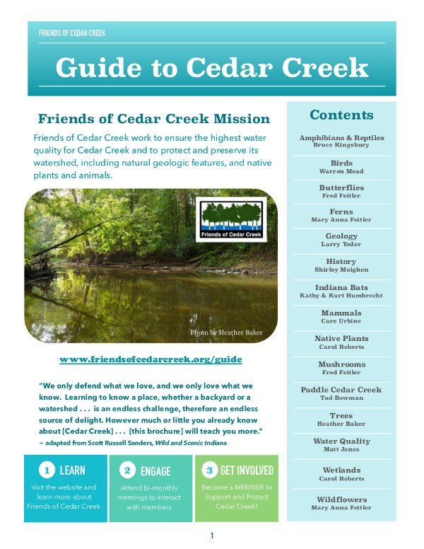
Guide to Cedar Creek
What is Cedar Creek?
- Natural, deeply carved, free-flowing stream
- Canyon terrain
- Glacier's footprint
- Home of Great Blue Herons
- Magnificently forested floodplain
- Drinking water for Fort Wayne
Who are the Friends of Cedar Creek?
- The people - homeowners, students, educators, outdoor enthusiasts and others who participate in educational meetings and advocacy to protect and preserve Cedar Creek.
- The group founded in 1965 to keep Cedar Creek clean and free-flowing, and its woodlands and wetlands natural.
How is Cedar Creek protected?
- Cedar Creek is one of only three rivers in the state to be designated an Indiana Recreational River under the 1973 Indiana Natural, Scenic, and Recreational Rivers Act.
- Designation extends 13.7 miles, from County Road 68 to the creek’s confluence with the St. Joseph River in Allen County.
- The Cedar Creek Corridor is the largest forested corridor in the region. Riparian (riverbank) and upland forest dominate the area, along with wetlands and gravel hill prairies.
- A-3 zoning of most of the Cedar Creek valley increases property values and limits high-density, commercial, and industrial development while protecting and maintaining the watershed’s natural qualities.
- ACRES Land Trust
has protected 1,527 acres along Cedar Creek and will increase acreage as opportunities arise.
Enjoy this guide to Cedar Creek!
“We only defend what we love, and we only love what we know.
Learning to know a place, whether a backyard or a watershed . . .
is an endless challenge, therefore an endless source of delight.
However much or little you already know about [Cedar Creek] . . .
[this guide] will teach you more.”
~ adapted from Scott Russell Sanders, Wild and Scenic Indiana
Editors:
Carol Roberts - content
Heather M. Baker - technical
October 2017